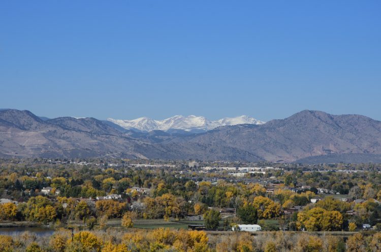
I don’t know about you, but my morning commute this morning was a little prettier than it has been in months. Those mountains in the back of the postcard view are now snow-capped. The first snowfall to bring any decent accumulation happened over the weekend and the view for commuters is starting to whiten up.
Over the weekend, most of the mountain ski areas received a decent 5-8 inches of total snow accumulation.
Here are some of the preliminary snow reports as of this afternoon.
-Arapahoe Basin: 3 inches
-Aspen: 6 inches
-Copper Mountain: 8 inches
-Loveland: 5 inches
-Steamboat: 6 inches
-Winter Park: 7 inches
While Denver has not recorded the first snowfall of the season yet, the city did record the first freeze of the season this morning. If you were out walking your dog or warming up your car this morning, it was a definite noticeable, shockingly so, temperature change.
Another round of snow is possible later this week. The mountains will get light snow on Wednesday and heavier snow between Wednesday night and Thursday. There is also the possibility of 4 to 10 inches of new snow accumulation Thursday night at most ski areas.
So, get out your winter coats, hats and gloves. The winter cold is making its way, in time for Halloween.


