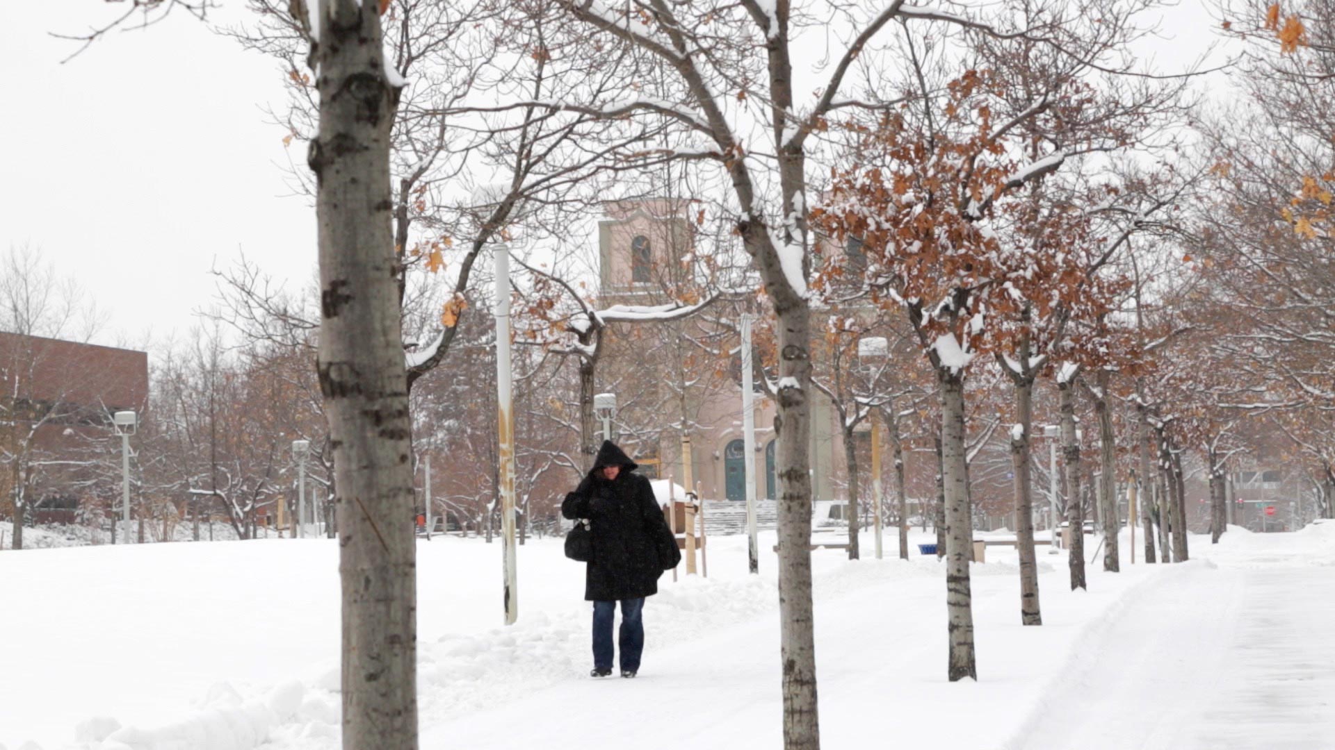
We’re waiting on the next storm system. It gradually spreads cloud cover and snow into Colorado this afternoon and tonight.
Increasing cloudiness today across Colorado. 20% chance of snow this afternoon/evening. Front Range highs will be around 38 degrees.
Snow develops across the Denver, Front Range, Palmer Divide and Eastern Plains overnight into Saturday morning. Snow continues off/on most of Saturday before tapering off Saturday night.
We’ve issued a Pinpoint Weather Alert Day for Saturday. Impacted travel includes the I-70 and I-76 corridors across the Eastern Plains of Colorado. Wyoming, Kansas and Nebraska travel routes also look snowy on Saturday and Sunday.
1-3 inches in Denver. 4-8 inches for the Eastern/Northeastern Plains. 2-6 inches for the Palmer Divide. 1-3 inches for the Foothills. 1-5 inches for the mountains and ski areas.
Source: Fox 31


